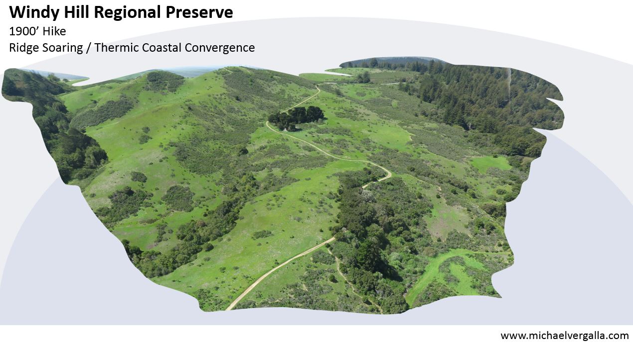
A rare site to fly, Windy Hill is a special location that allows you to see both the ocean and bay. It’s a beautiful hike.
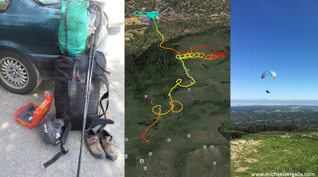
Hiked up with gear for reality capture. Flight path colored by altitude. Soaring the peak on the first flight – photo credit: Bob Posey
The Stanford Dish is in sight, and as a pilot you need to make a smart choice on whether or not you can make the XC flight to the landing zone. Pilots need special permits which up until recently involved sending a SASE in the mail. 😉
I did some preflight memento captures of the summit marker! look at the resolution captured in the letters on top. Totally crazy.
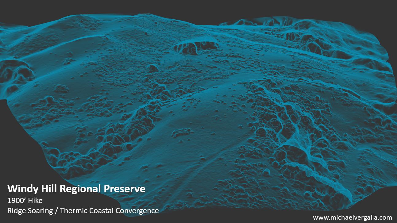
This means that with a good capture you can do nested scales of resolution.