Space Mixer Talk – Designing Better Futures and the Space Ecosystem
Finite Earth. Finite Resources.
Humans Consume Energy and Produce Waste.
Learning to be Sustainable is Critical for Survival here and in the Universe
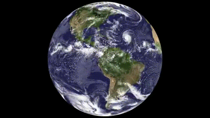
GEOS-5 Modeled Clouds at 7km Global Resolution from 9/27/2009-9/26/2009. NASA Goddard Visualization Studio
In 2010 I went to the International Space University Space Studies Program in Strasbourg, France.
I was interested in joining the Asteroid Mining Team, but I was encouraged to step out of my comfort zone.
I chose to participate in the Carbon Cycle group.
This step towards protecting earth was the perfect inspiration for the next 6 years of going to space and learning to become a good steward of this planet.
I applied to Singularity University in 2009 made the first round cut, but wasn’t able to attend until 2015. My team and I worked to build an advanced weather company for renewable resources. We ran high resolution, local forecasts for wind farms using weather research forecasting models, cloud computing and connected sensors.
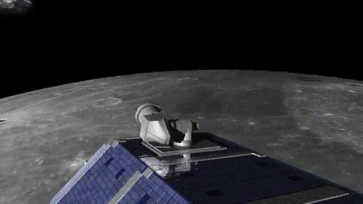
From 2011 to 2016 I worked at Moon Express.
Moon Express – An Exploration and Transportation Company,
Creating a lunar economy, enabling humans to become a multi-planet species and unlocking the resources of the Solar System.
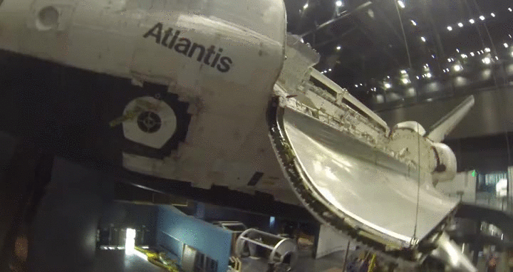
Orphans of Atlantis
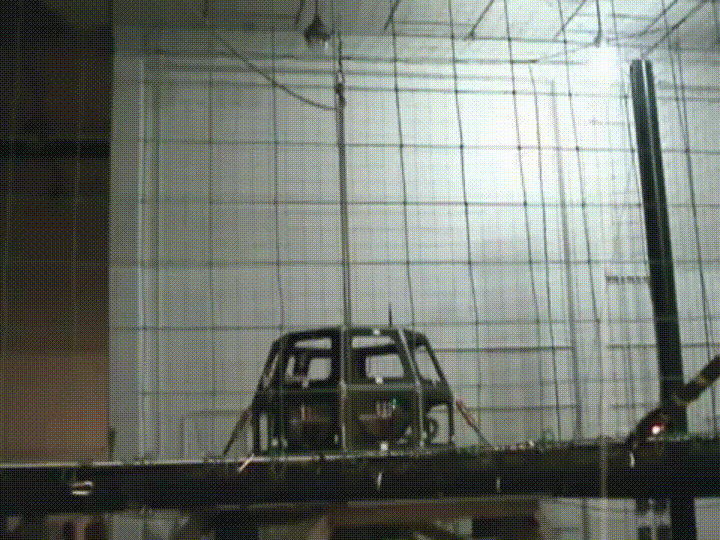
NASA AMES Hover Test Vehicle – Used by Moon Express as First Test Vehicle
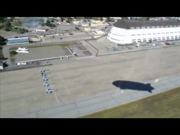
Radar Altimeter Flight Testing aboard Airship Eureka, a Zeppelin NT.
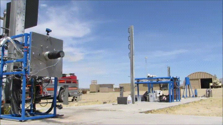
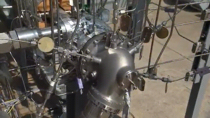
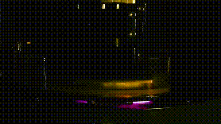
Earth Gravity Canceling Thruster, 90% Hydrogen Peroxide
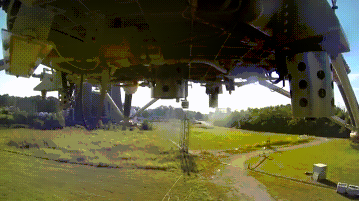
One of Three Test Flights using NASA Marshall’s Mighty Eagle, Hydrogen Peroxide Warm Gas Flight Vehicle
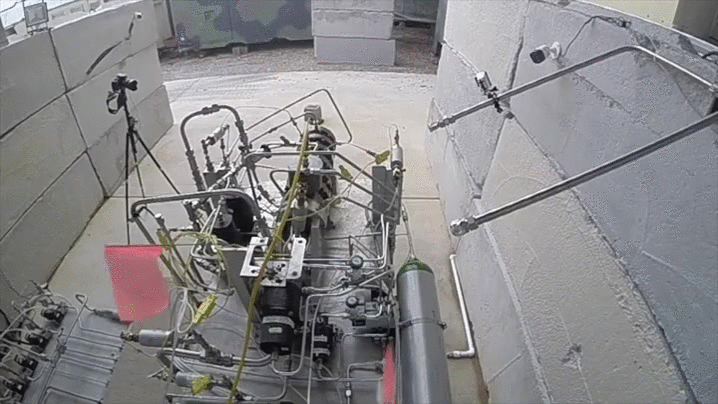
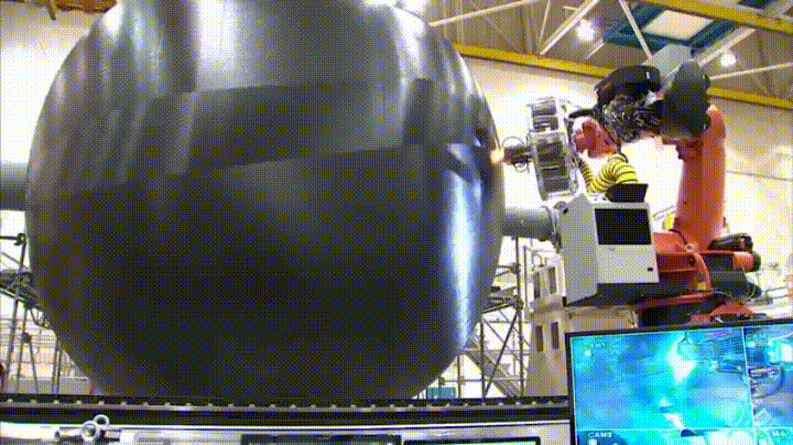
Bipropellant Testing for Space Flight
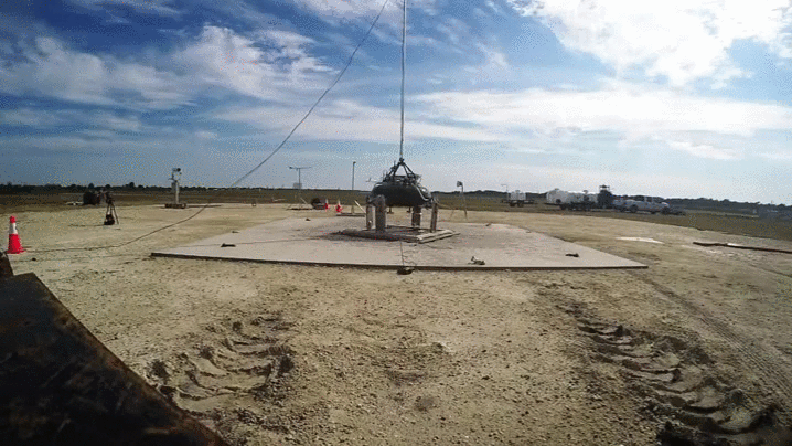
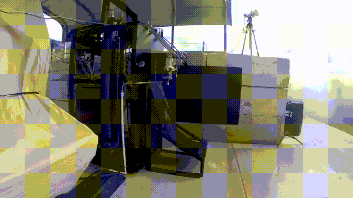
Moon Express Hover Test Vehicle at NASA Kennedy Space Center. Google Lunar Xprize Terrestrial Milestone Prize Flights
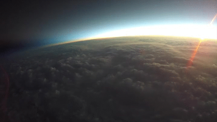
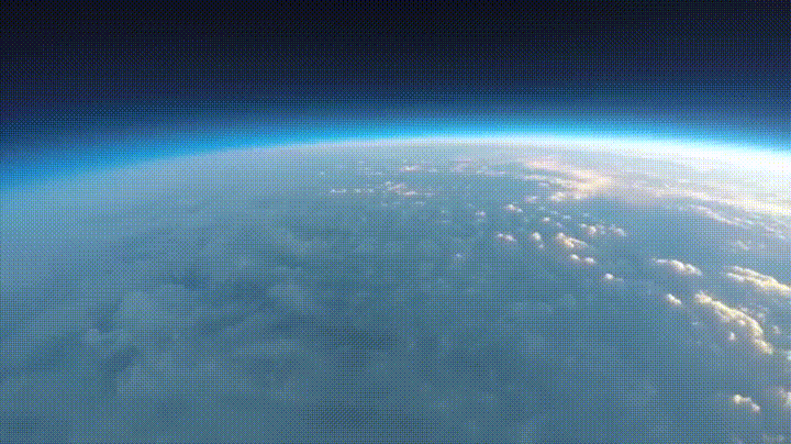
Worldview Experience – Sunrise in Space. 130,000ft High Altitude Balloon Flight Tests GoPro Hero4
Space Ecosystem – Rapidly Developing Space Industries
Leveraging Advancements in Technology, Economic, Regulatory and Financial Timing
Planet Labs Deployment of Earth Observation Satellites. Chrome Extension – Planet View
Skybox. Realtime Video Earth Observation Satellites.
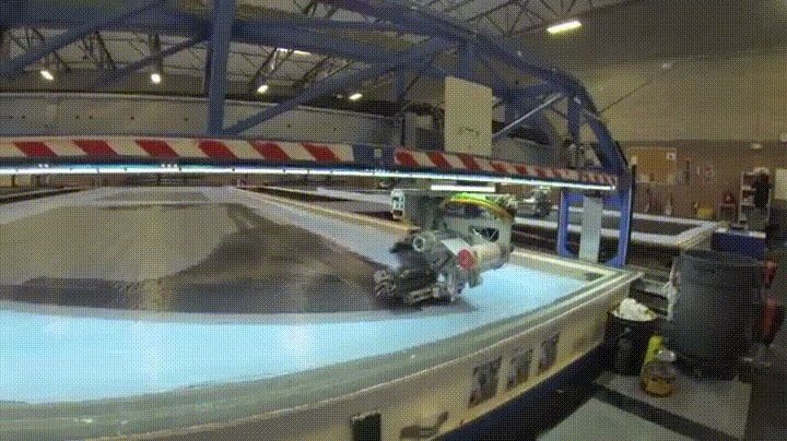
Vector Space. Low cost, race car approach to building launch vehicles.
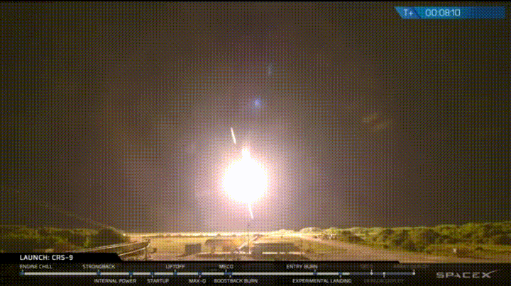
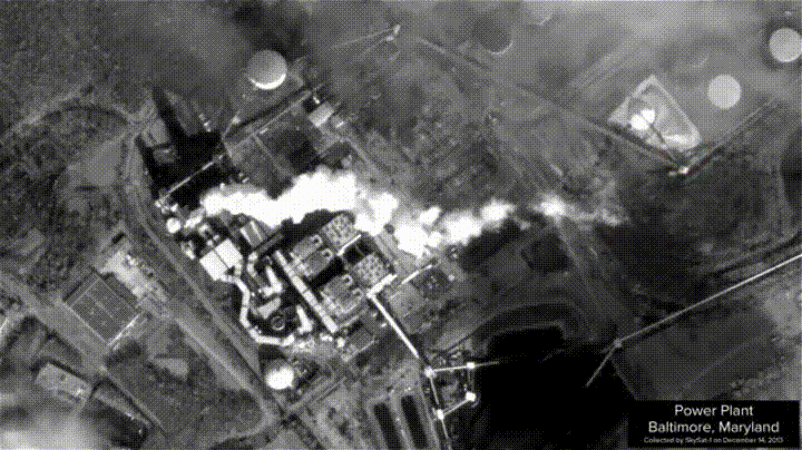
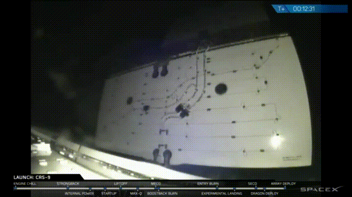
Another Successful Landing of a Rocket. This is the time in history that Rockets go up, and DOWN.
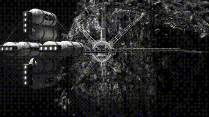
Deep Space Industries is one of multiple active space resource companies.
Investment in long term vision gets us to places like PLUTO!
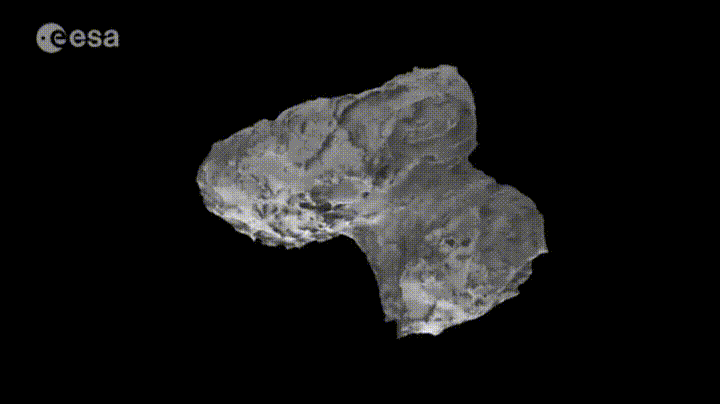
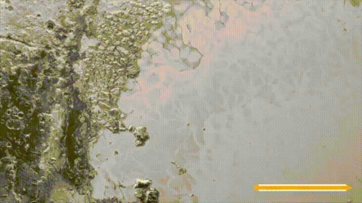
The technology exists to chase down and land on a Comet! come on, that is crazy.
Enabling Technologies
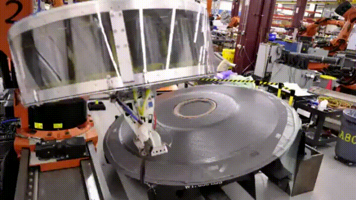
Advancements in Composites and Robotic Additive Manufacturing
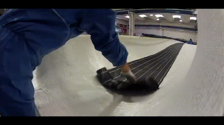
Hand Layup of Composites in Wind Turbine Manufacture
Robotic untwisted fiber, Prepreg Sailmaking. North Sails 3DI technology
Humans and Robots working together to build advanced composites
Robotic Manufacturing of Large Scale Composites Structures.
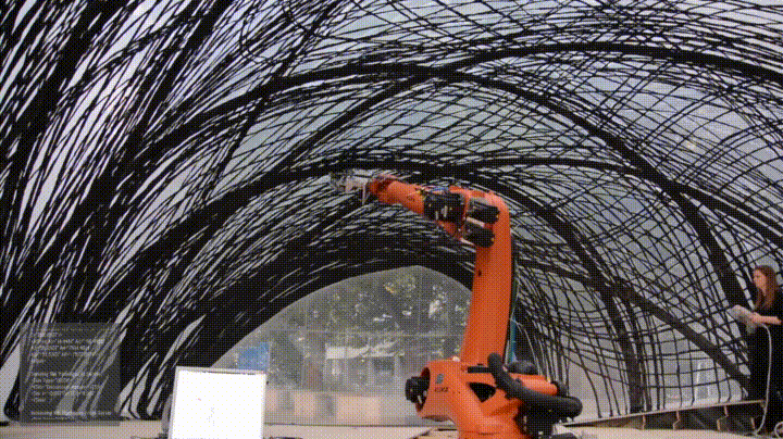
Future of Composite Habitats Built on Temporary Inflated Structure inspired by Underwater Spider @ Universität Stuttgart Institute for Computational Design
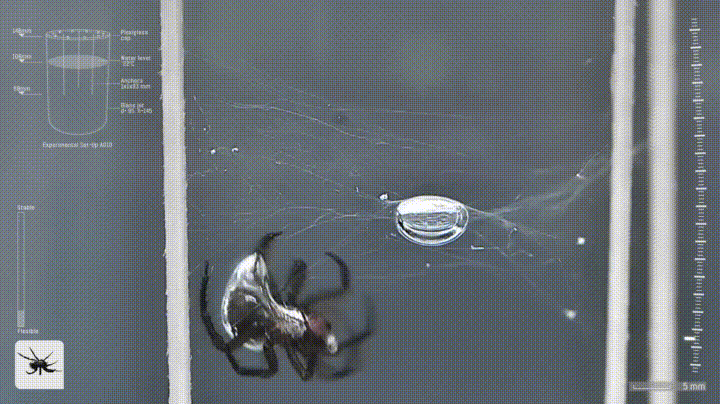
Inspiration for Universität Stuttgart Institute for Computational Design Pavillion.
Miniaturization of Electronics and Instrumentation
Efficient Solar Cells and Energy Storage
Open Software Libraries and Development
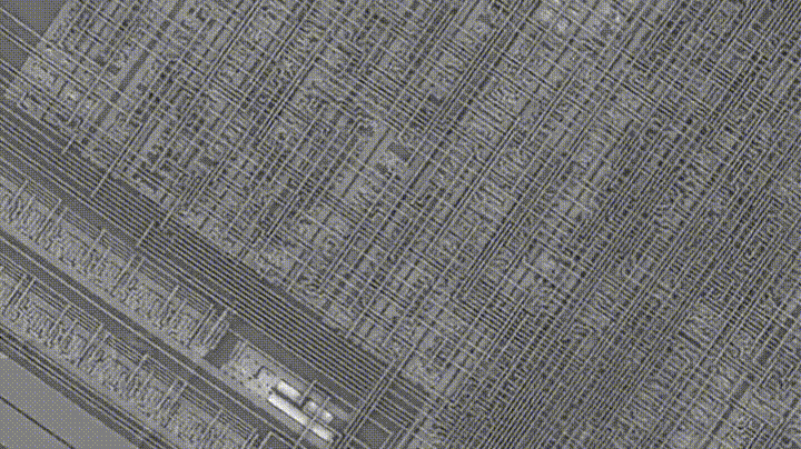
Inside a microchip. At small feature sizes where Silicon on Insulator Technology is used radiation tolerance is a characteristic of the materials.
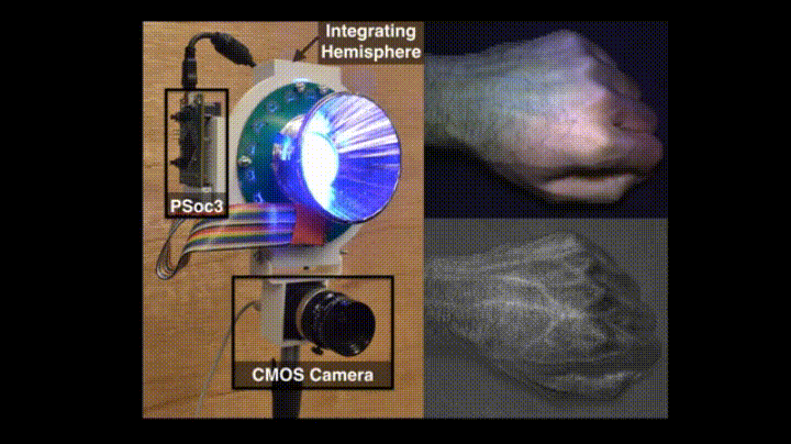
Low Cost Instrumentation – Example of Hyper-spectral Sensor
Open Source Libraries, Microcontrollers and MEMS sensors have enabled highly complex automated control systems. Available to the masses
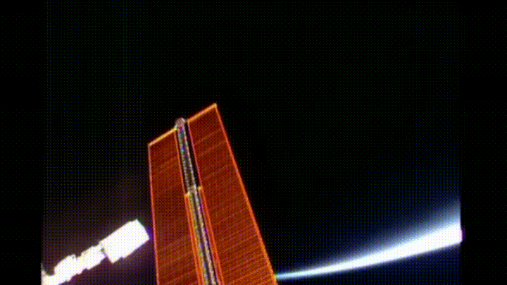
Successful Deployment of Dragon Spacecraft Solar Panels – Power systems like batteries can be highly screened off the shelf components.
Communications
Laser Communications already demonstrated from the Moon. NASA AMES LADEE Mission
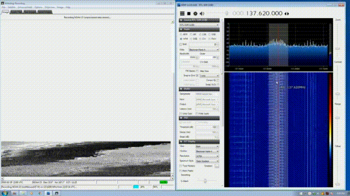
Software defined radio, and Synthetic aperture enable communication advancements for earth and space.
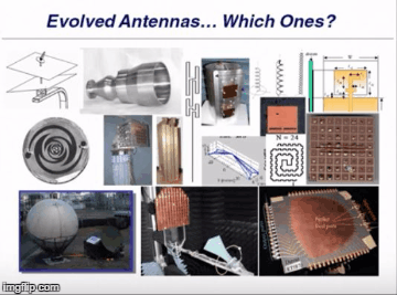
Antennas optimized by generative algorithms were designed, manufactured and flown.
Additive Manufacturing Propulsion and Structures
Future of Design
Computationally Curated, Optimized and Generative.
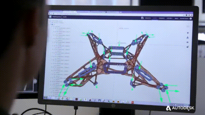
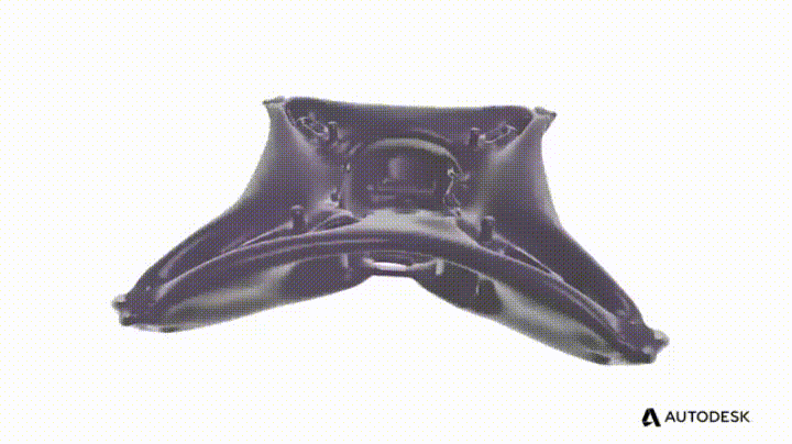
Autodesk Dreamcatcher Generative Design Software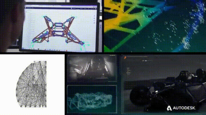
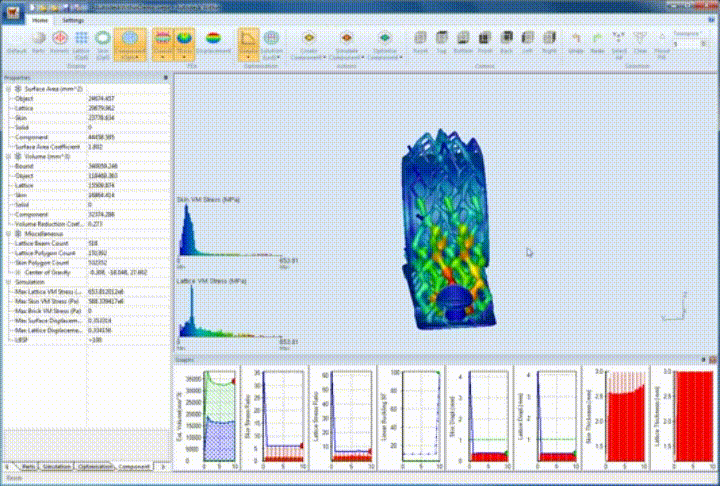
Autodesk Within Labs Micro Lattice Optimization Software
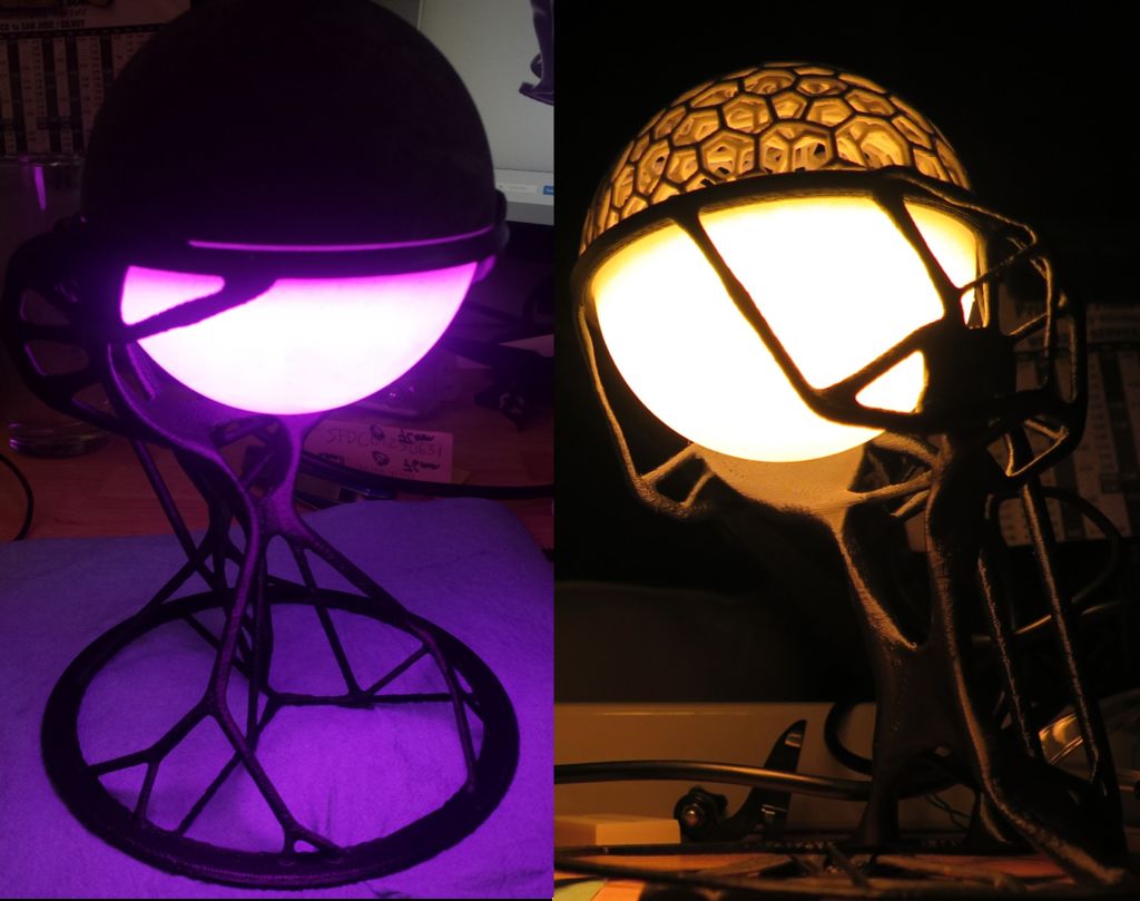
Generative Design Workflow for Spacecraft used to design Lanterns for Pier 9 AiR Residency
We must protect our future homes.
Exploration of Space = Exploration of Planet Earth.
Advancements in instrumentation, networking, and computation will allow us to become excellent stewards of our Earth.
We need to learn the skills to survive and sustain on other planetary bodies and space stations we inhabit in the future.
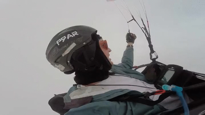
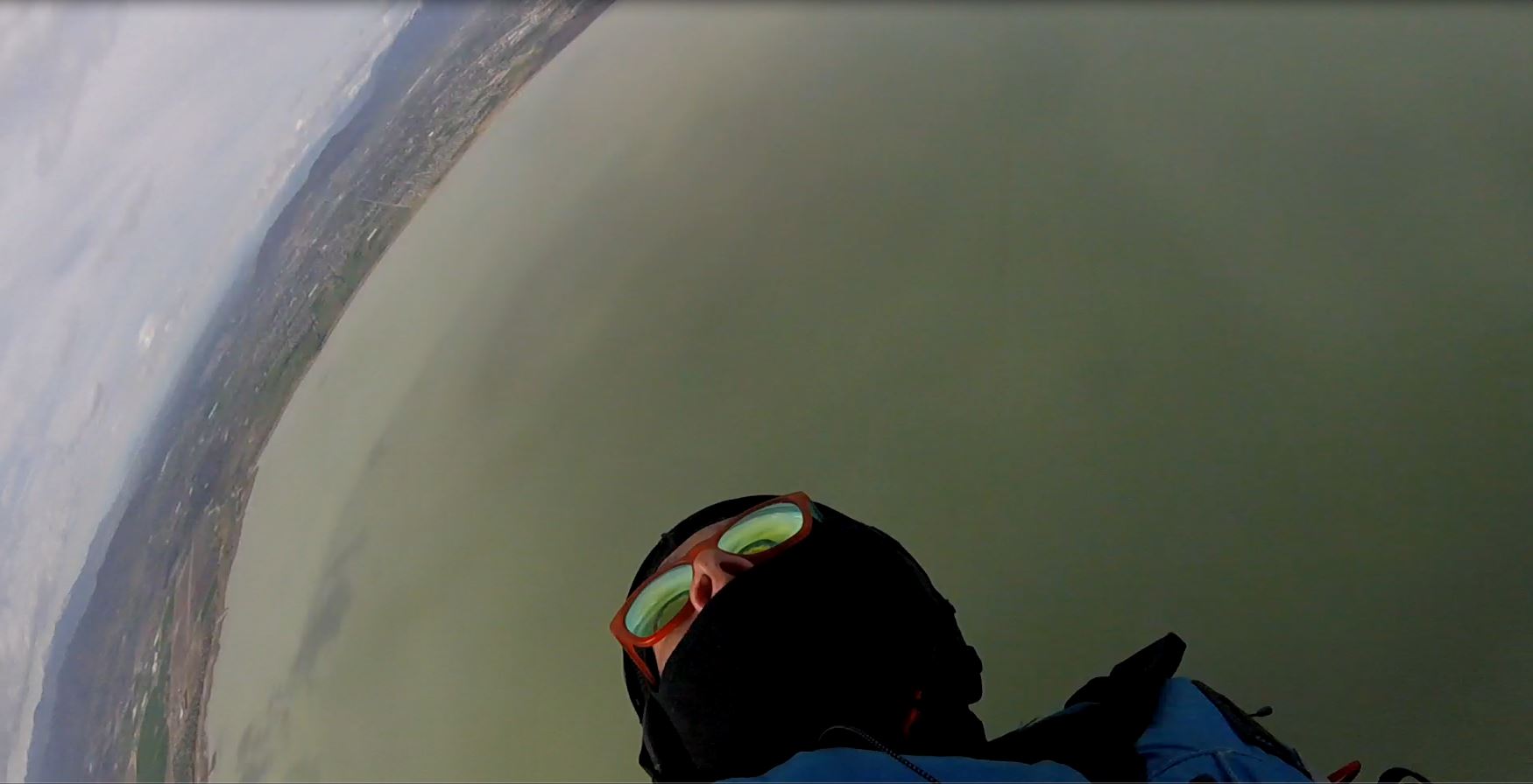
Heart and G Force in Spirals
The title is sorta not complete. I took the risk and flew with my Flymaster NAV during SIV on each tow while wearing the Flymaster Heart G. I took video with a Gopro Hero 4 Session.
My intention was to capture my track logs, and to see what my body was doing/experiencing during this maneuver.
I’m currently working with Flymaster US distributor, and some others to get the data out of the instrument. In the mean time I used Dashware to overlay the flight logs on top of the video. I cant wait to update the video with the rest of the data!! Free Flight Research Lab is currently running test flights!!!
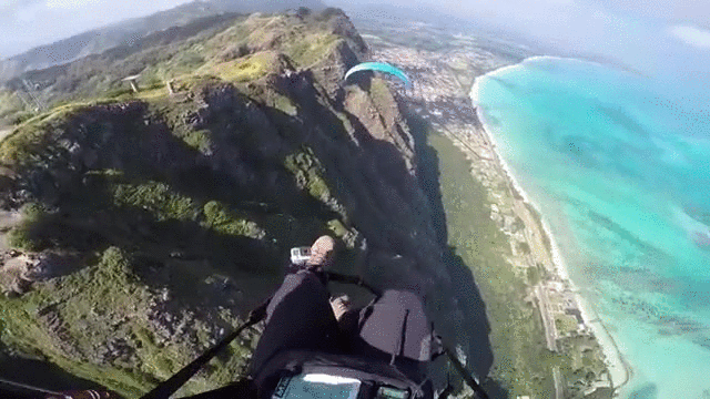
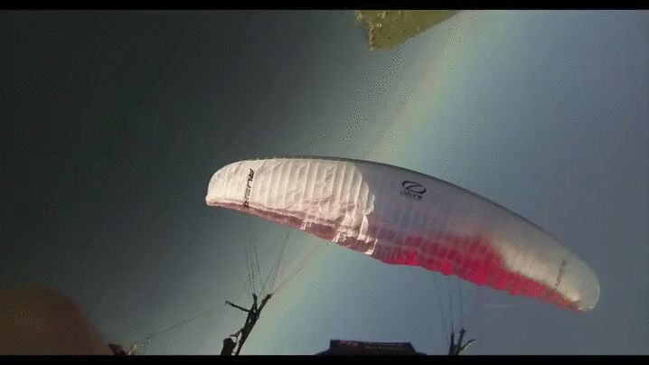
Project Sky Fall
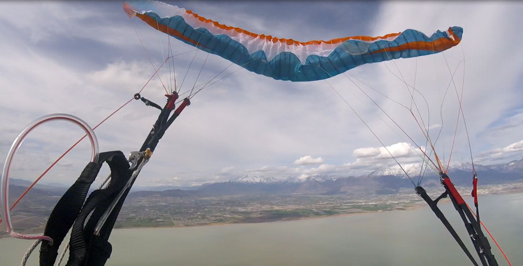
Full Stall – Wing Configuration
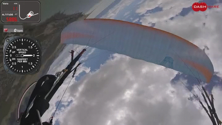
Just returned from a Simulated Incident Course (SIV) with Brad Gunnuscio.
This and courses like it save lives. I recorded G-Forces, and my heart rate along with flight data and GoPro Video. I’m currently processing the data and overlaying it on to video using Dashware.
The goal is to learn about your wing, and yourself while doing maneuvers over water.
Relax, see the world, Look at the wing! Find the sweet spot.
Here is a clip from the last course in Yelapa, MX on a different wing. Full stall out of wingovers.
Analog Cloud Labeling
Found one! When the storms pass through, the hills are transformed to an emerald playground.
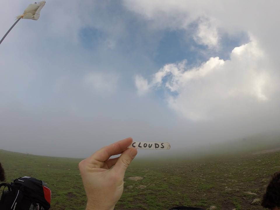
Cloud on Mission Peak Launch, Label from Ed Stein Trifold of Bay Area XC Record.
Terrain mapping in Free Flight
I’ve been working on a new project recently which involves creating high-resolution 3D renderings of terrain which are processed from images taken in low flight.
I plan to experiment with comparing reconstructed models over time to detect erosion for both inland and coastal features, take multi-spectral images to monitor plant/crop health, and create beautiful works of art that represent human flight and attempt to capture what seems impossible with a simple photograph of a mountain.
See the full 3D render here: https://memento.autodesk.com/projects/mission-slide
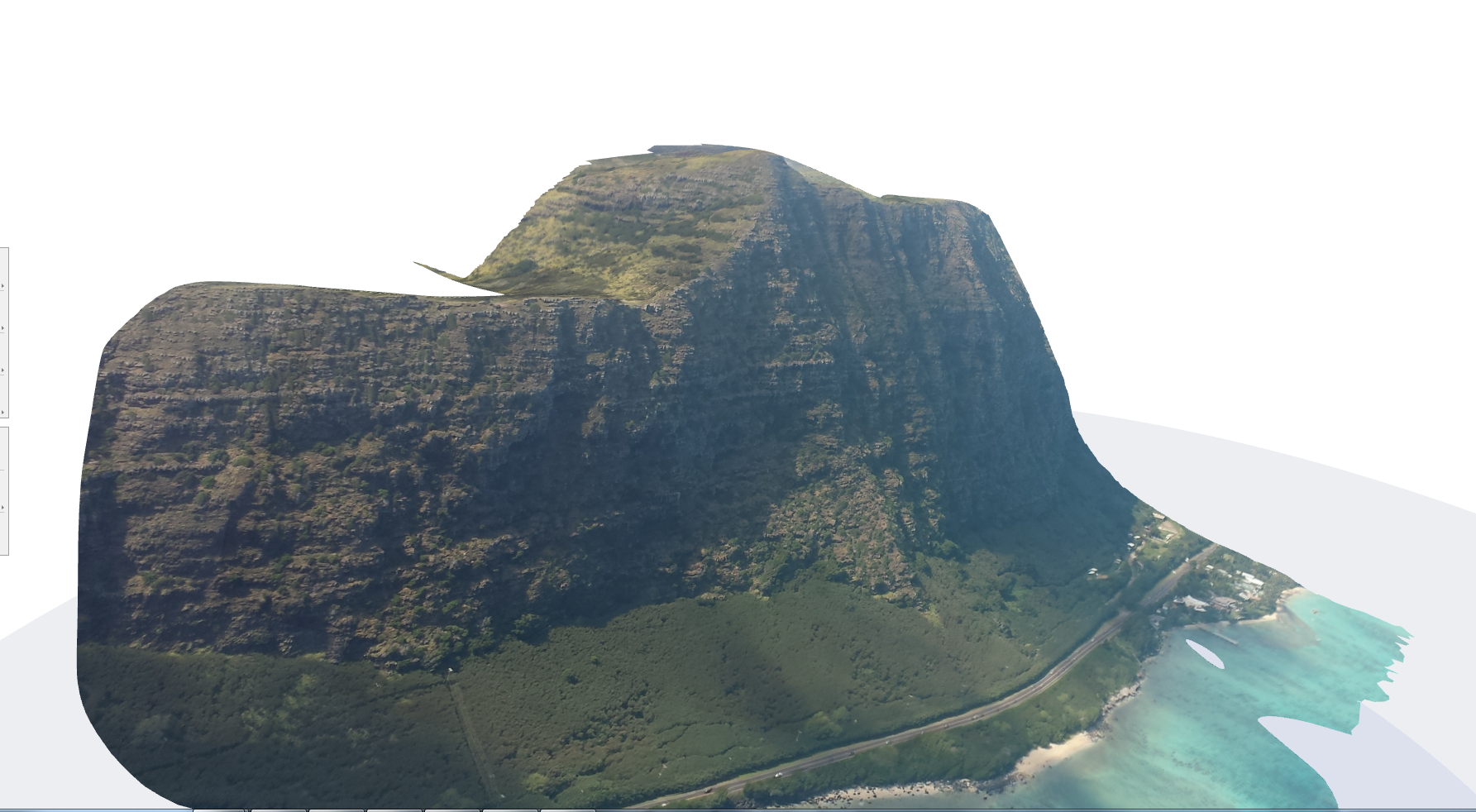
Photogrammetry of Makapuu on Skywalk Arriba 3